The Best View in Ontario is Worth the Hike and is Only an Hour from Thunder Bay
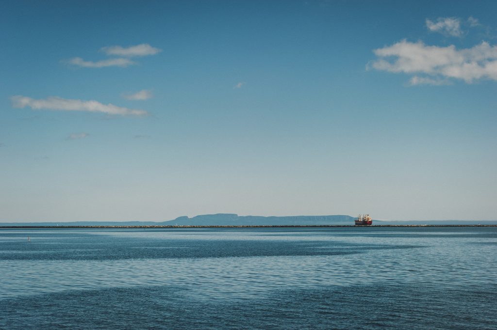
There’s a rock formation in Lake Superior that you’ve probably looked at a thousand times. It’s that massive, moody silhouette stretched out across the horizon—also known as the Sleeping Giant. And we say it’s time to stop admiring the Giant from a distance and actually go say hi… in person and from the top.
The Top of the Giant Trail is located within Sleeping Giant Provincial Park, about an hour outside the city, and it is widely considered one of the toughest and most stunning day hikes in all of Ontario, featuring the highest cliffs and the tallest vertical drop in the province.
The full route is a 23 km round trip, depending on whether you sneak in the Sea Lion Trail detour. To get there, you’ll wind through the Kabeyun Trail, connect onto Talus Lake Trail, and then face the main event being the Top of the Giant Trail itself, where the forest floor turns into a staircase built by someone who clearly did not care about your cardio.
My first tip, the secret weapon is to bring a bike. You can bike the first stretch, which is roughly seven kilometres of the Kabeyun Trail out to the junction that is flat enough to pedal, which means you get to bank all that leg strength for later, when you’re going to need every last drop of it.
Once you hit the crossroads, that’s where the bike’s job ends, and yours begins. Ditch it at the bike racks (or, in true Thunder Bay fashion, lean it against a tree if the racks are full- definitely recommend a bike lock, as people are extremely tired coming back down and might want to borrow it) and get ready to meet the stairs, sooooo many stairs.
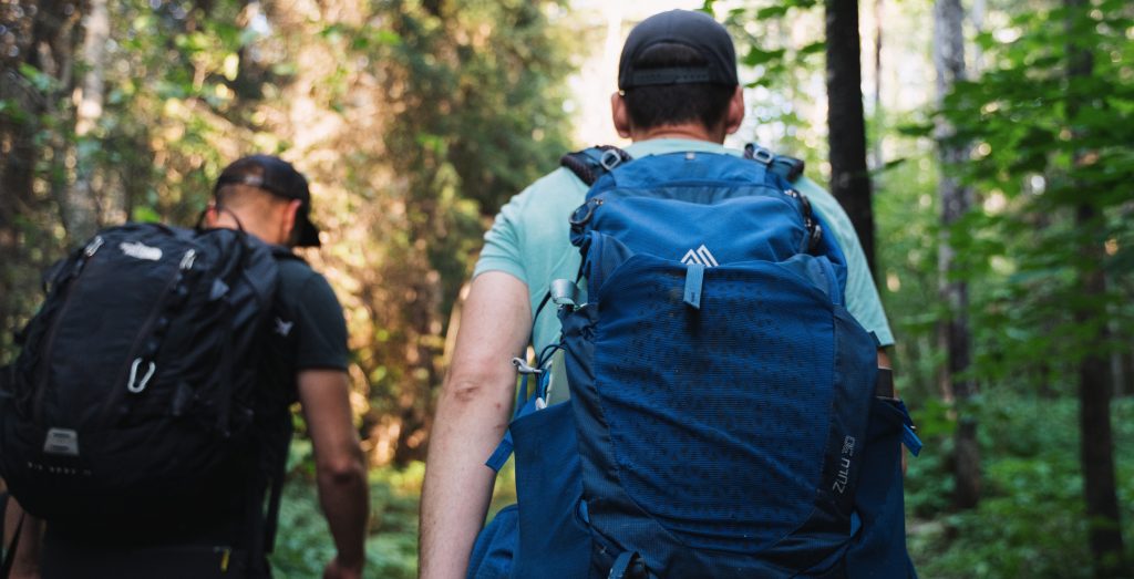
Another tip, courtesy of hikers who’ve done this trek more times than they can count: resist the urge to power up the incline like you’re being chased. Go slow and deliberate. Hiking at a steady, unhurried pace means you’re not stopping every five minutes to catch your breath; slow and steady will actually get you to the top faster.
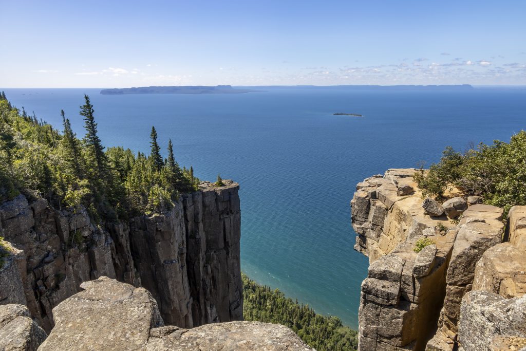
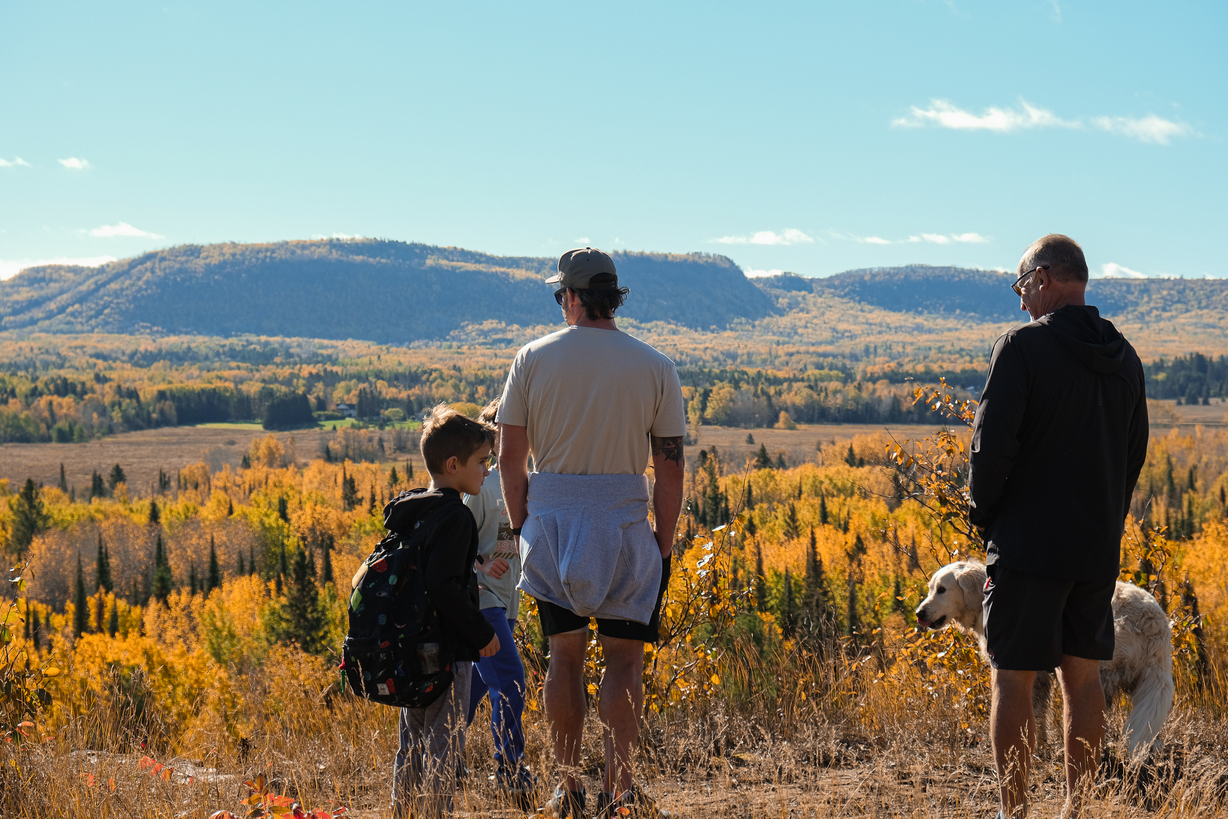
The payoff here is the Gorge, aka the knees of the giant. It’s a lookout perched nearly 1,000 feet above Lake Superior, frequently called the best view of the lake in the entire province, and l couldn’t agree more; it’s an epic view.
There’s something almost disorienting about it. You spend hours surrounded by forest, barely aware of how high you’re climbing, and then the trees open up and suddenly you’re standing at the edge, staring down into a chasm with Thunder Bay sitting quietly on the horizon. There are no fences up there, so give the edge the respect it deserves and just take it in from a safe distance.
Along the way, keep an eye out for the Tee Harbour Lookout too. It’s a solid spot for a lunch or snack break or a swim, and views that make you forget you’re eating a slightly squished sandwich.
A few things worth knowing before you hit the trails:
Time: It takes most hikers about 6 to 10 hours round trip depending on your pace and how many breaks you take. Start early enough that you’re not racing the sunset on the way down.
Water: Bring around 2.5 litres. Carrying what you need is a lot less stressful than hoping for the best.
Cell service: There isn’t any, so put your phone on airplane mode to save battery, and bring a portable charger if you’re planning to document the whole thing.
Toilet paper: Shall we say, BYO-TP. Enough said.
Bears: This is black bear country, so bear spray and a bit of trail noise aren’t optional extras.
Dogs: Leashed pups are welcome, but be honest with yourself about whether your dog actually wants to do that climb with you. Woof!
Now the Sleepy G itself has a backstory you can think about on the long walk back down. The formation, which is technically the Sibley Peninsula, stretching 52 km by 10 km, was shaped by magma intrusions over a billion years ago. According to an Ojibwa story, the Sleeping Giant is Nanabozhoo, the Spirit of the Deep Sea Waters.