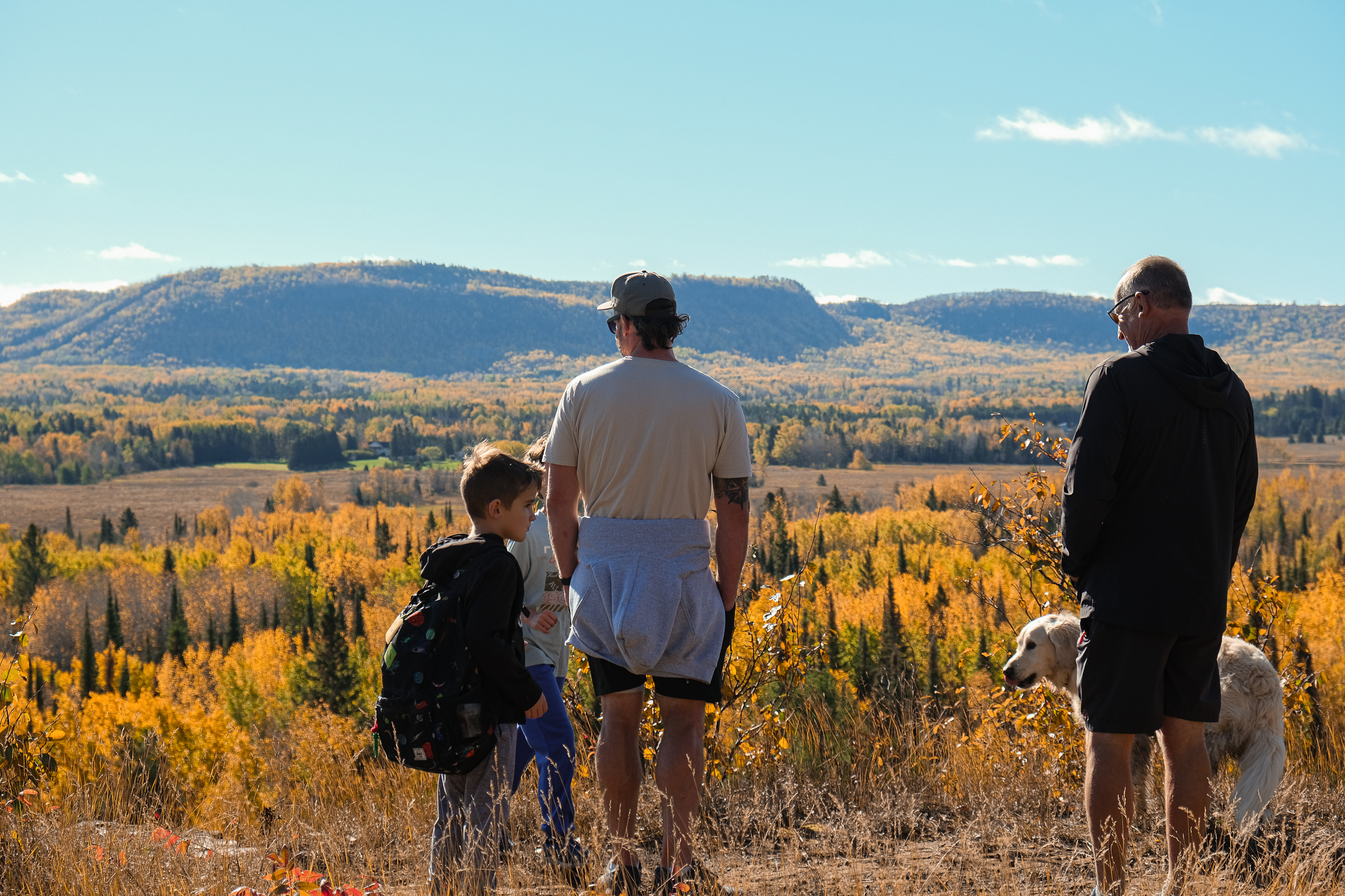
In Thunder Bay, people don’t need an excuse to get outside; they need a good route. With the city sitting on over 56 kilometres of multi-use trails and 42 kilometres of bike lanes and shared roads, it’s all woven together into one of the best urban trail networks in Northern Ontario. Trail runners, stroller-pushers, rollerbladers who refuse to let 2003 die, dog walkers, e-bikers, even skateboarders… they’re all out there and just waiting for you to join in.
What’s awesome about this trail system is that you can actually cross the whole city without touching traffic. The network connects Fort William and Port Arthur, so you can travel from one end of the city to the other entirely on trails. No cars or lights, which means no road rage. It’s just you, the open path, and whatever playlist you have ready for the summer.
As soon as spring hits, the bike lanes really come alive. Commuters swap their car keys for helmets and start pedalling to work, and it’s hard to blame them. It’s a reminder of what makes living in Thunder Bay different. You can have a full work day and feel like you did something good for yourself before you even get to the office… it’s true TBay work-life balance.
If running is your thing and you don’t want to do it solo (or beg your best friend to come along), keep an eye out for Thunder Bay run clubs. The chances of seeing then out on the trails is 110%, and if you’re looking for friends, you might as well join in. They’re also great motivators! Check out the Dawson Trail Run Club, Metre Eaters, Northern Trail Runners or the Fresh Air Running Group.
The longest stretch on the trails clocks in at 10.5 kilometres, running from the corner of John Street and Junot Avenue all the way to Arthur Street and Riverview Drive. But the most popular trail in the city continues to be the Boulevard Lake loop. The 5-kilometre trail is Woodland on one side, a lake on the other, and a distance that feels satisfying without destroying you. People do this loop in every season!
The trail network also offers a lot of options that cover a full range of terrain. Paved multi-use trails that are smooth, fast, great for bikes, blades, and strollers. Double track trails that have a little more “texture”, which means more adventure, and natural surface single-track trails for when you want to feel like you’re in nature but still be 10 minutes from a Sweet North Bakery.
Another trail worth checking out is the Waterfront- Marina Park route. It’s a paved, beautifully maintained path right along the shore of Lake Superior. Scenic, smooth, and the kind of place where you will stop and take photos of the water, lighthouse, Sleepy G, and that cool looking bird to post on your stories, accompanied by #Thunderbaylifestyle. Active transportation stops feeling like a chore pretty fast when the route looks like this!
Thunder Bay’s trail network isn’t just a nice thing to have…it’s a defining feature of this city that connects people to nature and to each other, and gets us where we need to be. The trails are free and most are open year round.
Want to plan your route? The City of Thunder Bay has a trail map to help you figure out where to start.